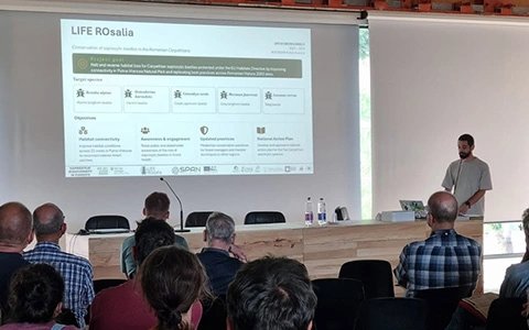
Areas targeted by the Rosalia Life project were scanned with LiDAR technology
With the help of the experts from ForestDesign (forestdesign.ro), we mapped, in 3D format, the forest structure and estimate the quantity of dead wood in the areas targeted by the project within the Putna Vrancea Natural Park.
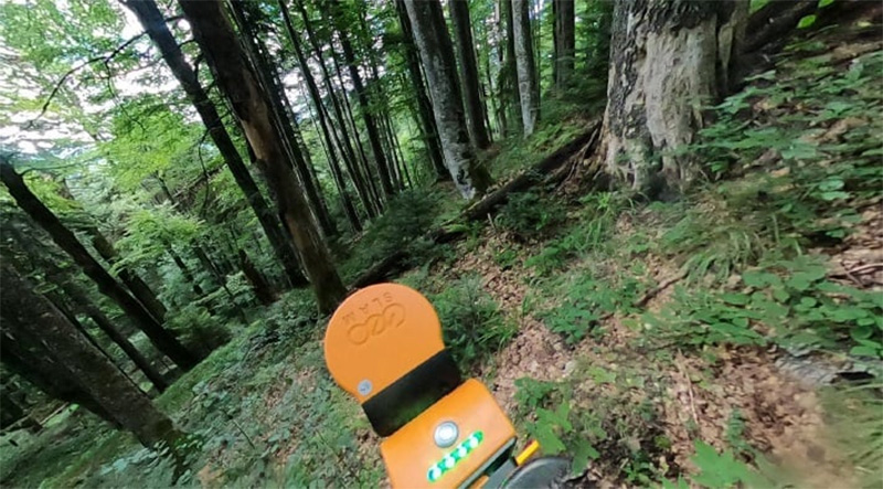
A mobile scanner, based on LiDAR technology, capable of 3D mapping the complex forest structure, was used to assess the characteristics of pilot sites, up to the individual tree level, including standing and on the ground dead trees.
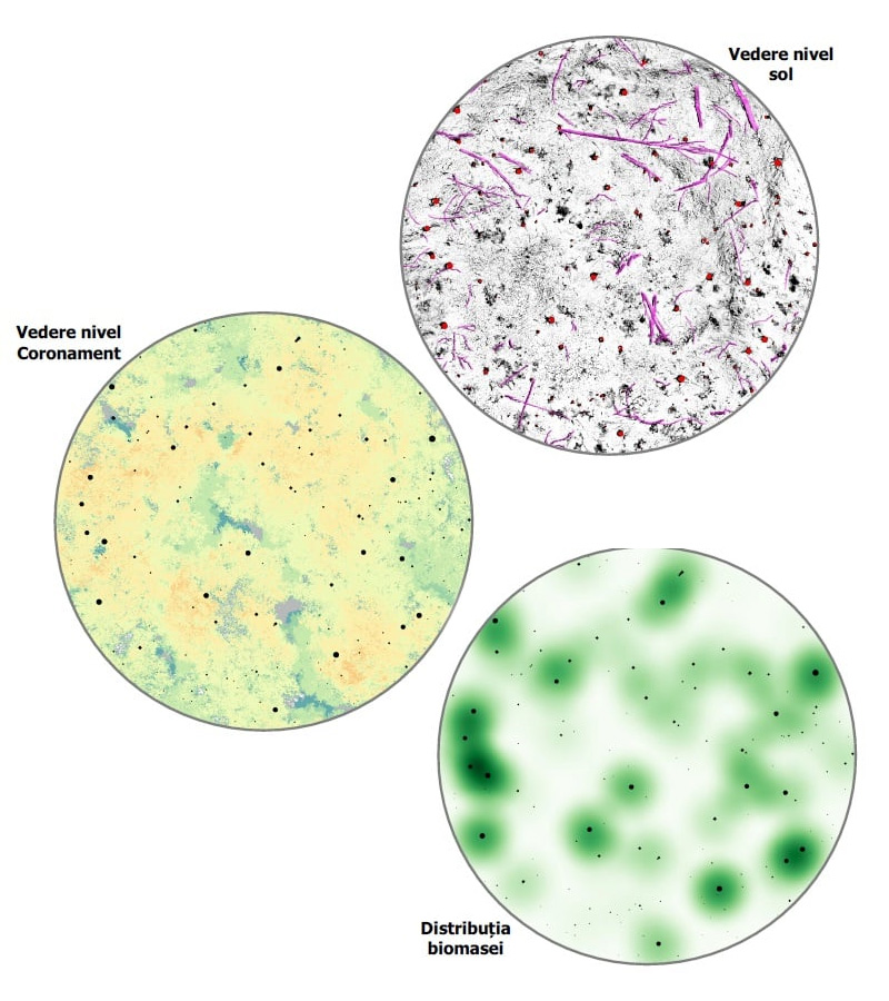
With this technology, dead wood logs from the ground are detected on the basis of geometric shapes and are delimited from point clouds to measure their dimensions and to estimate the existing volume on each monitoring site. The amount of dead wood is measured as the volume of both standing and on the ground dead wood. Further we will correlate the presence of insects communities with the presence and volume of decaying wood.